Instants plaisirs
Au cœur des Pyrénées
Vous découvrez la destination Foix Ariège Pyrénées ? Quelle chance s’offre à vous ! Partez à l’assaut de nos plus belles forteresses, de nos cascades et grottes insolites.
Profiter d'un patrimoine authentique
Profiter d'un patrimoine authentique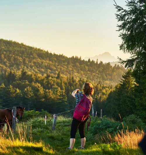
Partir en randonnée
Partir en randonnée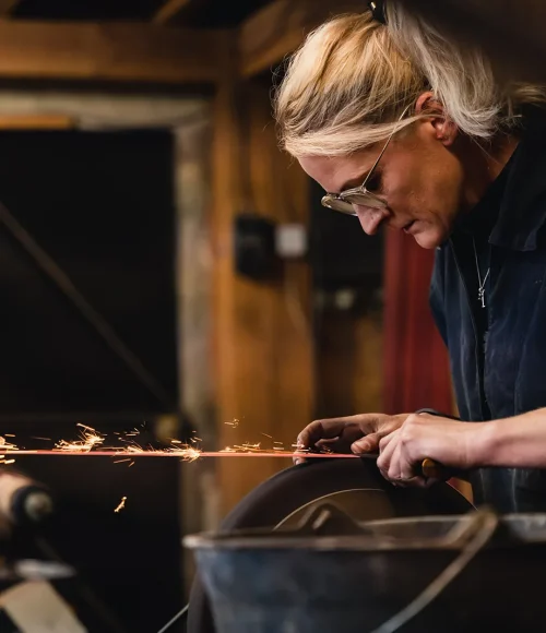
Rencontrer des artisans d'exception
Rencontrer des artisans d'exception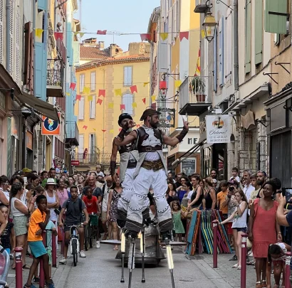
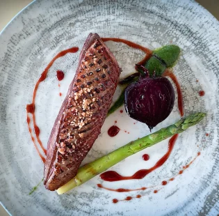
Des moments uniques à vivre
Des moments uniques à vivreInstants choisis
En terrains connus
Chargement en cours


Bienvenue à Foix Ariège Pyrénées
Au cœur d’un territoire vivant de culture, d’animation et de patrimoine niché tout près de la nature
Je découvre la destination


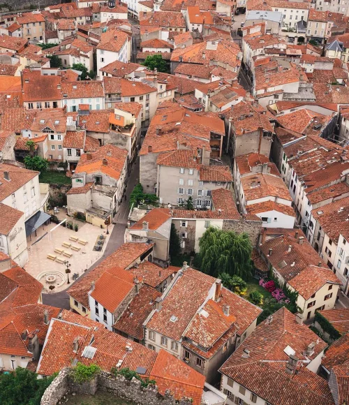
Ville de Foix
Au coeur de l'Ariège, retrouvez la cité médiévale de Foix, dominée par son superbe château fort !
A la découverte de la cité comtale !


Rivière souterraine de Labouiche
Une rivière souterraine, une barque, une cascade, quelques chauves-souris... Bienvenue à Labouiche !
J'embarque à bord !


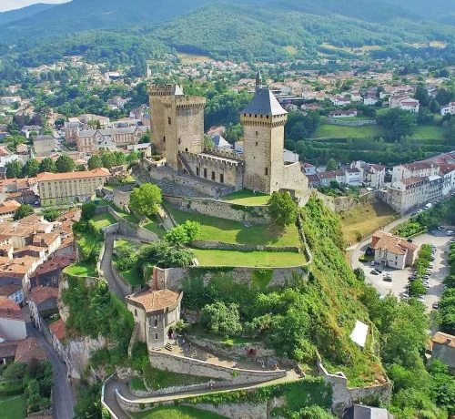
Château de Foix
Le château de Foix est incontestablement l’un des sites et monuments les plus remarquables d’Ariège
Visiter le château


Prat d'Albis
Le Prat d’Albis est un petit trésor naturel qui offre une myriade de possibilités.
Je prends de la hauteur !


Col des Marrous
Un petit coin de paradis pour les amoureux de la nature, des paysages et panoramas époustouflants
Je veux y aller !


Forges de Pyrène
Plongez dans les années 1900 au travers de musées, expériences immersives et d’ateliers vivants
Je remonte le temps !
Instants sensations
Grandeur
nature
Aux pieds des plus beaux sommets des montagnes ariégeoises, pratiquez des activités en pleine nature : randonnées, vélo, rafting, canoë-kayak… A vous la joie de profiter des Pyrénées.

Le Chemin des Bonshommes
Sur une longueur de 224 km le Chemin des Bonshommes relie Foix, en Ariège, à Berga, en Catalogne, en 10 jours.
En savoir plus

Toutes nos randonnées
Foix Ariège Pyrénées, ce n’est pas moins de 150 km de chemin pour vous amener à la rencontre de notre riche patrimoine et de nos merveilles naturelles
En savoir plus

Les activités sportives
Découvrez avec nous la variété des activités qui font de notre territoire un véritable lieu de rencontre pour les amoureux de la nature !
En savoir plus

En bicyclette
Enfourchez vos vélos, on vous emmène sur les routes d’Ariège autour de Foix !
En savoir plus
Instants magiques
Festivités
& agenda
Tout au long de l'année, notre territoire vous offre une programmation des plus festive, rythmée par de nombreux grands événements attendus de tous !

22 juillet 27 juillet 2024
Jazz à Foix
Réservable en ligne à partir de 32€

02 août 04 août 2024
Ingénieuse Afrique
Gratuit (hors stages)

30 août 02 septembre 2024
Grandes Fêtes de Foix
Gratuit
Instants pratiques
Vous venez
quand ?
L'Office de Tourisme de Foix vous accompagne dans la préparation de votre séjour à Foix...
En panne d'inspiration ? Pas de souci, nous vous suggérons les meilleures idées du moment :
En panne d'inspiration ? Pas de souci, nous vous suggérons les meilleures idées du moment :
Trouver mon nid douillet
Trouver mon nid douillet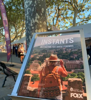
Feuilleter le mag'
Feuilleter le mag'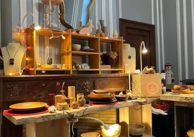
Idées shopping
Idées shopping